bw-logo

Topographical Survey

best-land_survey-services-in-chennai

TOPOGRAPHICAL SURVEY

A topographical survey involves determining both the horizontal and vertical aspects of features on the Earth’s surface. The horizontal component focuses on identifying objects such as roads, railways, ponds, houses, and property boundaries by measuring flat distances. These features are typically represented through images. Meanwhile, the vertical component assesses hills, valleys, depressions, benchmarks, and elevation points by measuring vertical distances. In this context, the surveyed items pertain to elevation.


  • Hence, a topographical map shows the idea of the earth surface alongside the places of various items.
  • Such a map is fundamental for designing ventures including roads, railways, water system, supplies, municipalities and so forth
  • The size of a topographical map depends on the extent of the area it covers and the purpose for which it is being prepared.
  • For the most part, a topographical map is set up as indicated by a size of 1 cm to 1 km (i.e., 1/100,000).

WHY SHOULD WE CHOOSE A TOPOGRAPHICAL SURVEY?

Topographical surveys are crucial for assessing the structure, elevation, shape, and geographical position of both natural and man-made land features. Whether it’s a small garden, a road, an estate, or a public park, topographical surveys serve as a fundamental tool. They help define property boundaries accurately, providing essential information and potentially saving costs..“G Spatial Technologies is one of the best land survey agency service providers in Chennai. Contact us today”.

THE TOPOGRAPHICAL SURVEY COMPANY THAT FOCUSES ON STRATEGY

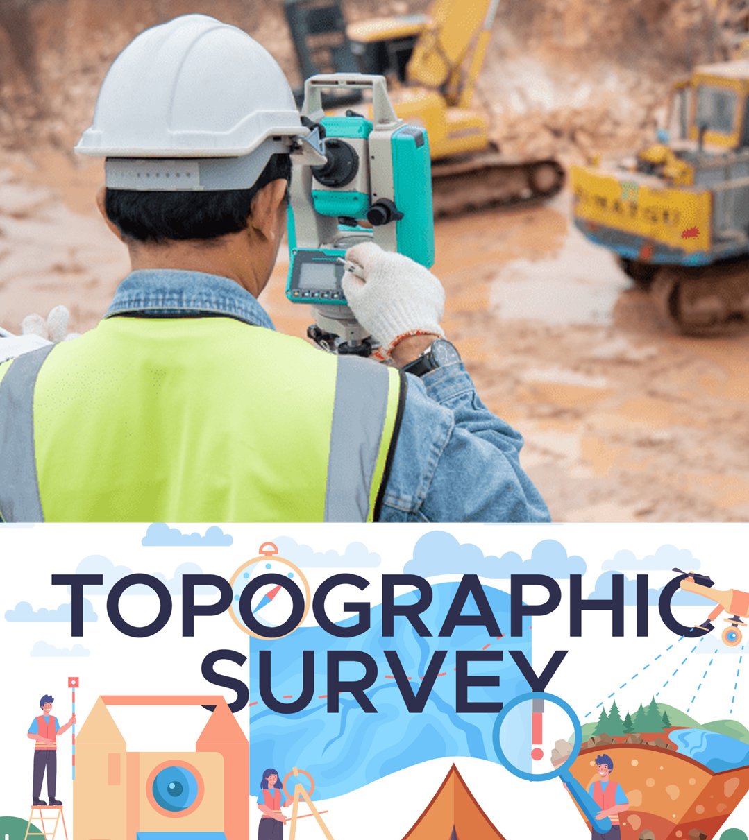
G Spatial Technologies company provides the Best Topographical survey services in Chennai. we have been implementing the best practice of Topographical survey to all the clients across the landscape

OUR BUSINESS SERVICES

BASIC SERVICES

  • Cadastral Surveys
  • GPS, RTK, DGPS Surveys
  • ATS Surveys
  • Drone Surveys
  • Satellite Surveys
  • Final Location Surveys
  • Contour Surveys
  • Drawing Digitization
  • Boundary surveys
  • Vacant land surveys
  • Total station surveys
  • Combined FMB Sketch
  • All type of CAD Surveys
  • Advanced Land surveys
  • Layout Survery

CONSTRUCTION SERVICES

  • Engineering Survey
  • Pipeline Survey
  • Topographical Survey
  • Land Survey
  • Building marking
  • Building interior surveys
  • Building Levelling surveys
  • Site Contour surveys
  • Drain surveys.

OTHER SERVICES

  • Road Surveys
  • Road Marking
  • Road DPR Surveys
  • Road Levelling surveys
  • Railway Surveys
  • Airport Road Surveys
  • Dam Surveys
  • Bridge Surveys
  • Hill Surveys
  • lake Surveys
  • Pond Surveys
  • Power pole Surveys
  • E B Line Surveys